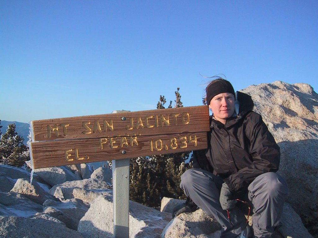
Mt. San Jacinto 10,834 ft
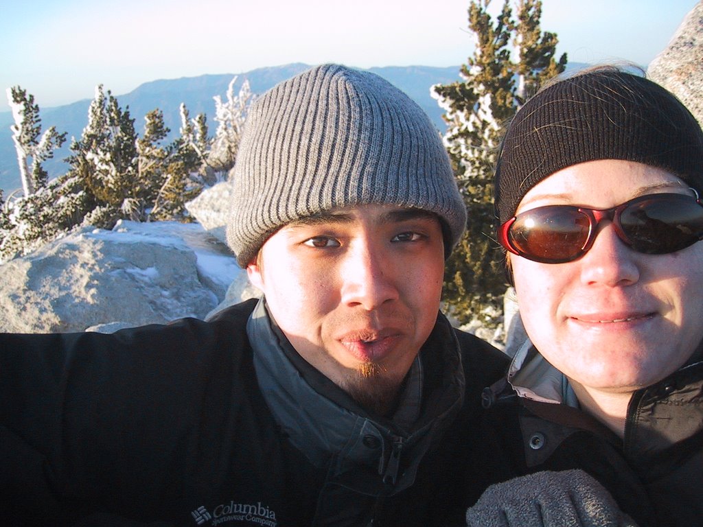
This past Saturday I went on a hike with my friend Jerry to Mt. San Jacinto (10, 834 ft). It's the 2nd highest peak in So Cal but most of the hiking accounts I'd read claimed it to be a more beautiful and rewarding hike than its superior, Mt. San Gorgonio. The accounts I had read also warned of tough, snowy conditions, and the danger of altitude sickness. I have done a few 10,000 ft+ peaks before, but that's when I was living in Salt Lake City at 5,000 or so feet and was fairly acclimated to the elevation. Now, I live in San Diego at approximately 0 ft. The altitude definitely made a difference.
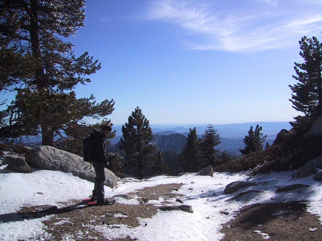
It was a 12 mile round trip hike with about a 2,200 ft elevation gain. The hike itself wouldn’t be called steep by hiking standards, but the thin air and snow cover made it quite a formidable trek. Snow shoes were required the entire way, and that alone changes your gait enough to make the going more tough. I was just happy to be using my snowshoes. I brought them all the way to New Hampshire with me when I visited my folks for Christmas, and there wasn’t any snow. Turns out I had to hit the trail just 2 hours from San Diego to find any of the white stuff.
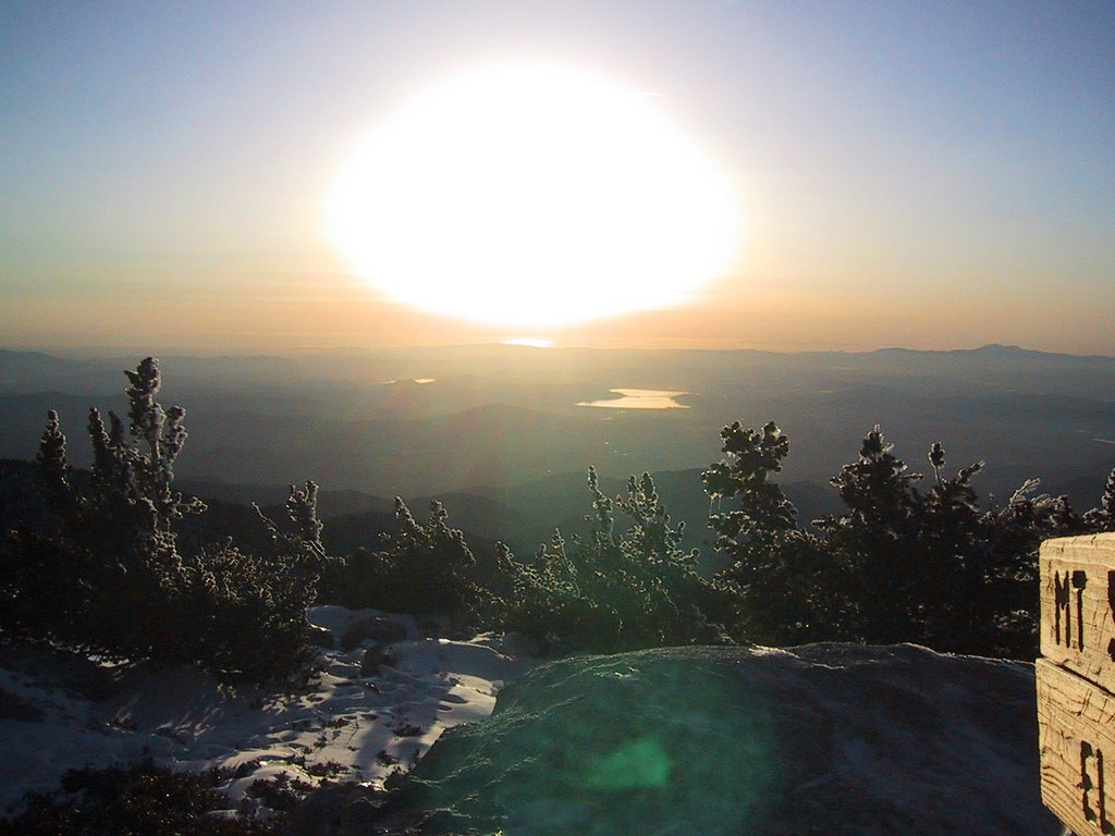
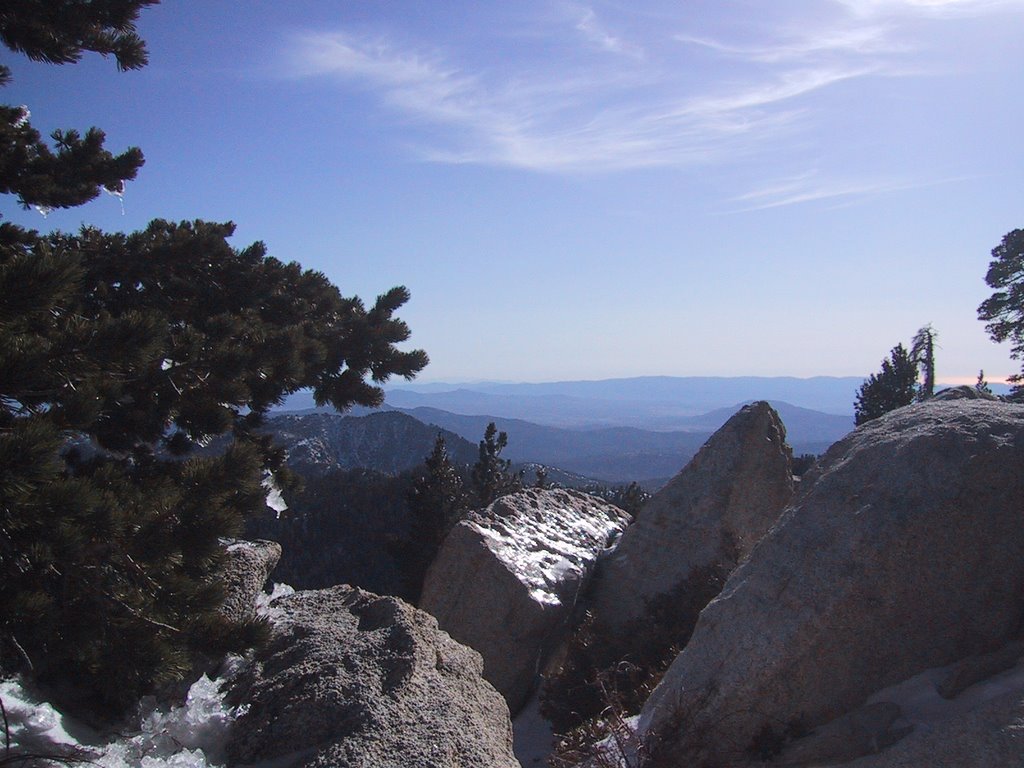
The hike was beautiful! The snow covered trail weaved between huge granite bounders and sturdy pines. It wasn’t at all like the high desert ecosystem I had come to expect on the trail in So Cal. There were a few folks out on the lower reaches of the trail, but it seems that few actually make a push for the summit during the winter months.
We didn’t start the hike until after noon, which certainly wasn’t optimal. We knew we had to haul booty if we wanted to complete the 12 mile out-and-back before sundown. Even still, I think we both knew when we set out that we’d be doing much of the return trip in the dark. We were recording our trail the whole way with a GPS unit. Had that not been the case, we wouldn’t have kept pushing for the summit as the sun was setting. The trail was straight forward and without dangerous outcroppings or steep sections so we knew it wouldn’t be too technical to handle in the dark. We summited around 4:30 pm in the wind and piercing cold and began the descent after just 10 minutes on the top. Within half an hour the sun was down and we hiked the next two an a half hours in the dark aided by the trusty GPS. Though I’ve done a lot of hiking with a GPS before, this was the first time I can say we were actually depending on it. Were it not for the GPS, the return trail would have been near impossible to follow. Even with it, there were a few spots where it took some reckoning to stay on course.
At just about 8 pm we stumbled back to the trailhead sore, and tired. I can say with certainty that is was the hardest hike I can remember going on. Even with just 0.3 miles to go to the summit, I had my doubts about actually making it to the top. At 10,000 feet, all your body wants to do is lay down and take a nap. Anyway, I don’t have many summit pictures. I seem to always have issues with the camera battery when it’s cold out. Turns out that batteries don’t like the cold. But I’ve got a bunch of pictures I like from the lower reaches. Enjoy!

posted by C Brow @ 7:21 PM
1 comments
![]()

1 Comments:
To be honest, I've always wanted to actually use a GPS like that. Hauling ass down a mountain in a pitch-dark forest with just a GPS in your hand to guide you -- its pretty neat. Yay tech-mology.
Post a Comment
<< Home